A rather strong “planetary wave” recently slammed into South America and is making its way toward California. In case you’re worried about headlines warning of the supposedly “freak” phenomenon “bringing trouble,” it’s worth understanding what this wave really is and isn’t.
Called a Kelvin wave, it’s carrying warm water to the Americas that’s typically trapped farther west. That’s raising sea levels along already vulnerable coastlines. These kinds of waves are common. When they do arrive, they can exacerbate existing problems. And this particular Kelvin wave could have more dramatic consequences than usual.
But “If you’re going to be out there looking for it, you’re not going to see it,” says Richard Seager, a research professor at Columbia University’s Lamont Doherty Earth Observatory.
“If you’re going to be out there looking for it, you’re not going to see it.”
A photo accompanying The New York Times’ reporting on the Kelvin wave, depicting a surface wave smashing into someone’s beachfront condominium, is misleading, he notes. The National Oceanic and Atmospheric Administration (NOAA) says a Kelvin wave is more like “waves in your bathtub, which slowly slosh around.” Water levels rise and fall in peaks and valleys, but they’re not breaking violently against a shore.
Kelvin waves are a typical signal of an El Niño, although they can also take place during other phases of the El Niño-Southern Oscillation (ENSO) pattern. During other phases, trade winds over the Pacific Ocean push warm waters near South America westward toward Asia.
That causes an “upwelling,” pulling cooler water from below up toward the surface of the ocean along the equator. As a result, the eastern equatorial Pacific is typically cool, while the western equatorial Pacific is warm.
During an El Niño, those trade winds die down, allowing the warm water that piled up in the western Pacific to flow back east in the form of a Kelvin wave. It also slows down the upwelling, limiting how much cold water can reach the surface.
Traveling east along the equator, the Kelvin wave hits Peru and Ecuador first before bouncing off the coast and moving north toward British Columbia and south toward Chile. The phenomenon causes temporary sea level rise, usually between 6 to 12 inches.
Every inch of sea level rise can heighten the risk of flooding during storms and high tides. El Niño can push the North Pacific storm track southward, bringing more storms into Southern California, Seager explains.
California Gov. Gavin Newsom declared a state of emergency in September to prepare for a particularly severe El Niño this season.
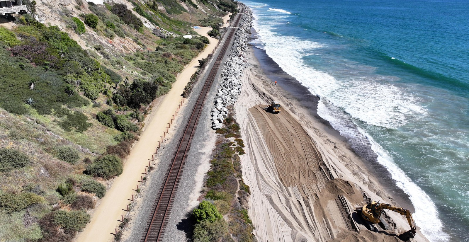
Rising sea levels with climate change are already inundating seaside roads , railways, and neighborhoods in California.
“If you already don’t have a lot of infrastructure that is built to protect your community and your coastline, you’re going to feel it … because 6 to 12 inches is not trivial,” says Emily Yam, senior director of learning and public engagement at the Aquarium of the Pacific in Long Beach, California.
The extra warm water also has consequences for marine life. El Niño can be an exciting time to go fishing and whale watching, with many warm water-loving species traveling farther north than they typically would.
NOAA notes that a 151-pound striped marlin broke a state record when it was caught in August off the coast of Washington. There have also been unusual sightings of hammerhead sharks and devil rays recently in Southern California.
Unfortunately, hotter temperatures also put stress on coastal ecosystems. Yam says scientists are bracing for a potential die off of California’s iconic kelp forests. They thrive in temperatures around 50 to 60 degrees Fahrenheit, but the water has reached well into the 70s lately. The Kelvin wave is piling hot water into an area already suffering from a marine heatwave since May of last year.
The temporary sea level rise is expected to linger through the start of winter. El Niño, which began in June, is forecast to weaken rapidly going into 2027.